Visual Presentations
3D Scanning and Drone Data Why They Are Important
Simply Explain Complex Concepts
- Preserve evidence of entire scene or vehicle
- Graphically depict articulating vehicles
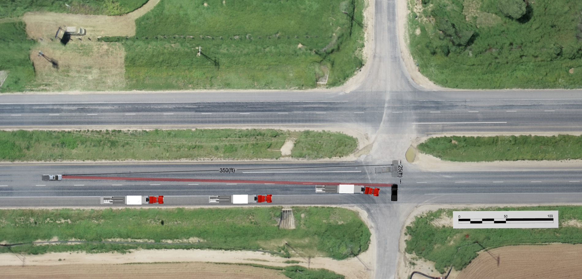
- Describe accident sequence details with layouts
- Visibly show elevations with interactive 3-D terrains
- Capture highly accurate measurements with Point Cloud data
- Eliminate distortion with Orthomosaic maps
Visibility Studies
- Capture road and right-of-way data critical to collision analysis
- Animations provide driver's eye view
- Layouts graphically depict blind spots
- Side-by-side views for clear comparisions
Technologies
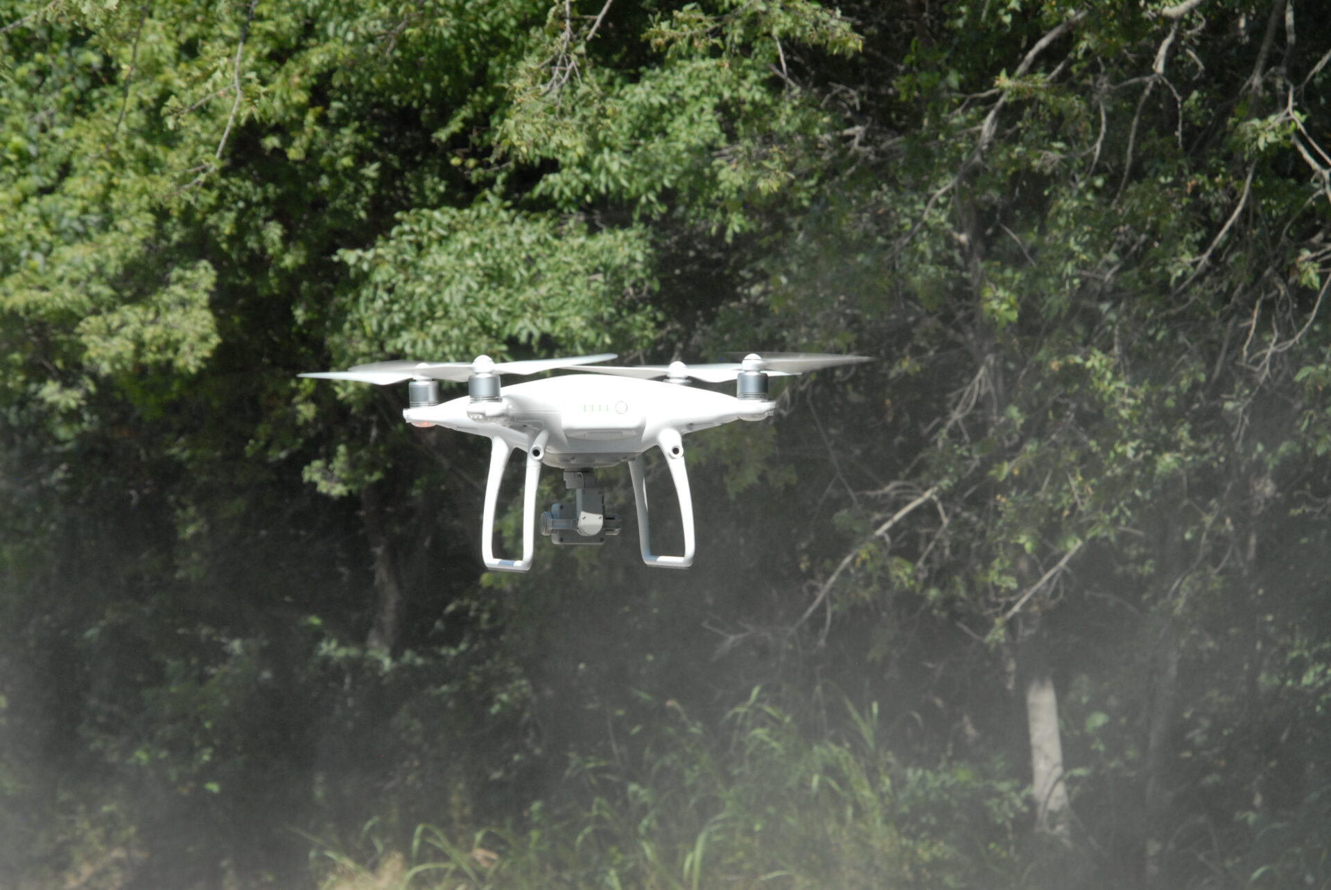
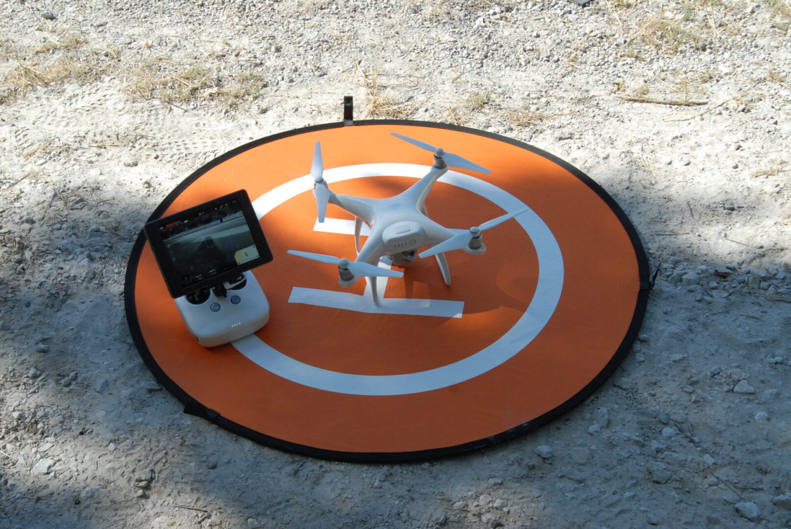
- Fully compliant with FAA regulations
- Drone operator holds an FAA Part 107 SUAS Pilot License
- FARO 3-D Scanner and multiple software applications
- Drone captures 4k video
3D Scanning and Drone Data How they can help you
Demonstrate What Really Happened
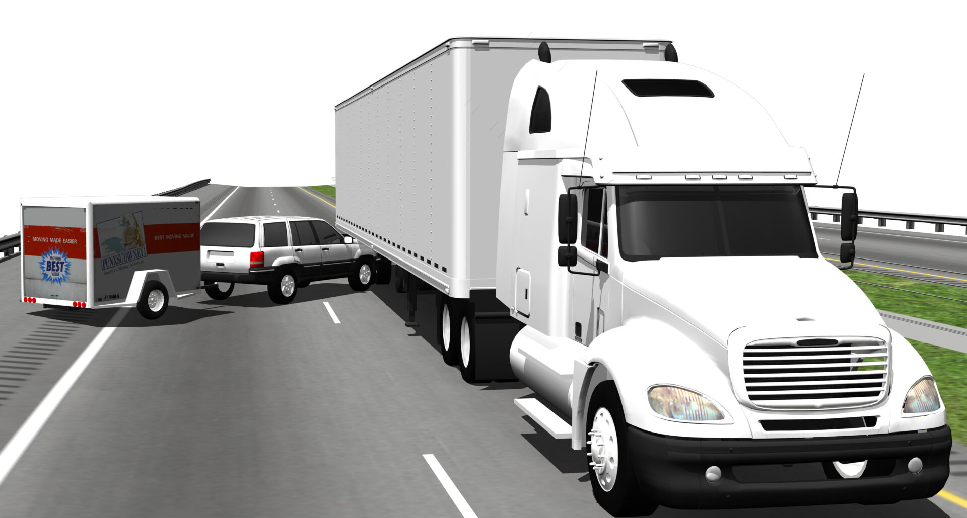
- Animations from various viewpoints call attention to different information, such as drivers view, birdseye, or rear view
- Highly detailed photos describe minute information
- Layouts can quickly explain how objects interacted with each other and the environment
- Graphically show Line of Sight and Visibility Ranges
- Realistic modeling enables viewers to focus on events
- Illustrate and highlight key events or objects
